As
a part of the Furman Forest initiative, Furman University faculty and
students are conducting surveys of various taxonomic groups. This tree
survey began in Summer 2008. The goal is to catalog the species that
are present, map their distributions with respect to elevation, slope,
and moisture, and track changes in populations of special concern. The
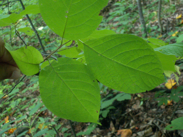
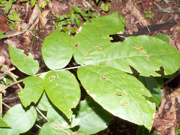
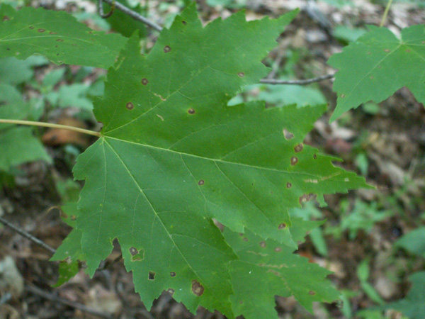
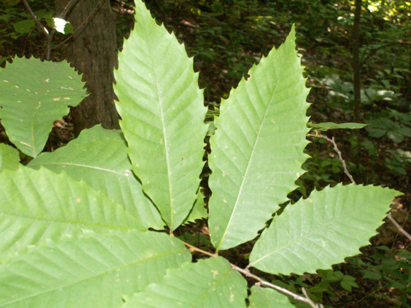
following trees have been found at the forest so far; we will have pictures
of specimens for all species as soon as possible. |
If
you have Google Earth installed, you can see the distribution and density
of each species by clicking on the species name. You will be asked if
you want to open a "..kmz" file in Google Earth. If you click 'open',
Google Earth will open automatically and you will be wisked away to
Furman Forest, where you will see the distribution and abundance of
that species. If you do not have Google Earth, a free version can be
downloaded at earth.google.com |
TREES
Family Aceraceae (Maples) Family Annonaceae (Custard-apples) Family Aquifoliaceae (Hollies) Family Betulaceae (Birches) Family Cornaceae (Dogwoods) Family Ebenaceae (Ebonies) Family Ericaceae (Heaths)
Family Fabaceae (Legumes) Family Fagaceae (Beeches, Oaks)
Family Hamamelidaceae (Hazels) Family Altingiaceae (Sweet Gums) Family Hippocastanaceae (Horse-chestnuts) Family Juglandaceae (Walnuts)
Family Lauraceae (Laurels) Family Magnoliaceae (Magnolias) Family Oleacaceae (Ashes) Family Pinaceae (Pines)
Family Rosaceae (Rose Family) Family Simaroubaceae (Quassias) Family Styracaceae (Bells) Family Symplocaceae (Sweetleafs) Family Tiliaceae (Lindens) Family Ulmaceae (Elms) Cumulative Indices |
|